

GeoIncite
Headquartered in Albuquerque, NM, and serving the entire Southwest with accurate professional land surveying and reliable construction staking, enhanced by advanced geomatics, UAS LiDAR, and 3D reality capture for infrastructure, renewable energy, public agency, and tribal clients.
About GeoIncite LLC
GeoIncite LLC delivers high-precision Professional Surveying Support, Advanced Mapping, and Geospatial Intelligence solutions tailored specifically for the infrastructure, renewable energy, and AEC marketplaces. We specialize in high-precision geomatics engineering support and custom software development, providing automated fusion, extraction, and distillation of remote sensing datasets into lightweight, design-ready CAD and GIS assets. Our processing pipelines seamlessly ingest UAS LiDAR (ULS), Mobile Laser Scanning (MLS), Terrestrial Laser Scanning (TLS), SLAM scanning, photogrammetry, and 3D reality capture to accelerate your project timelines.
Professional Surveying Support Services
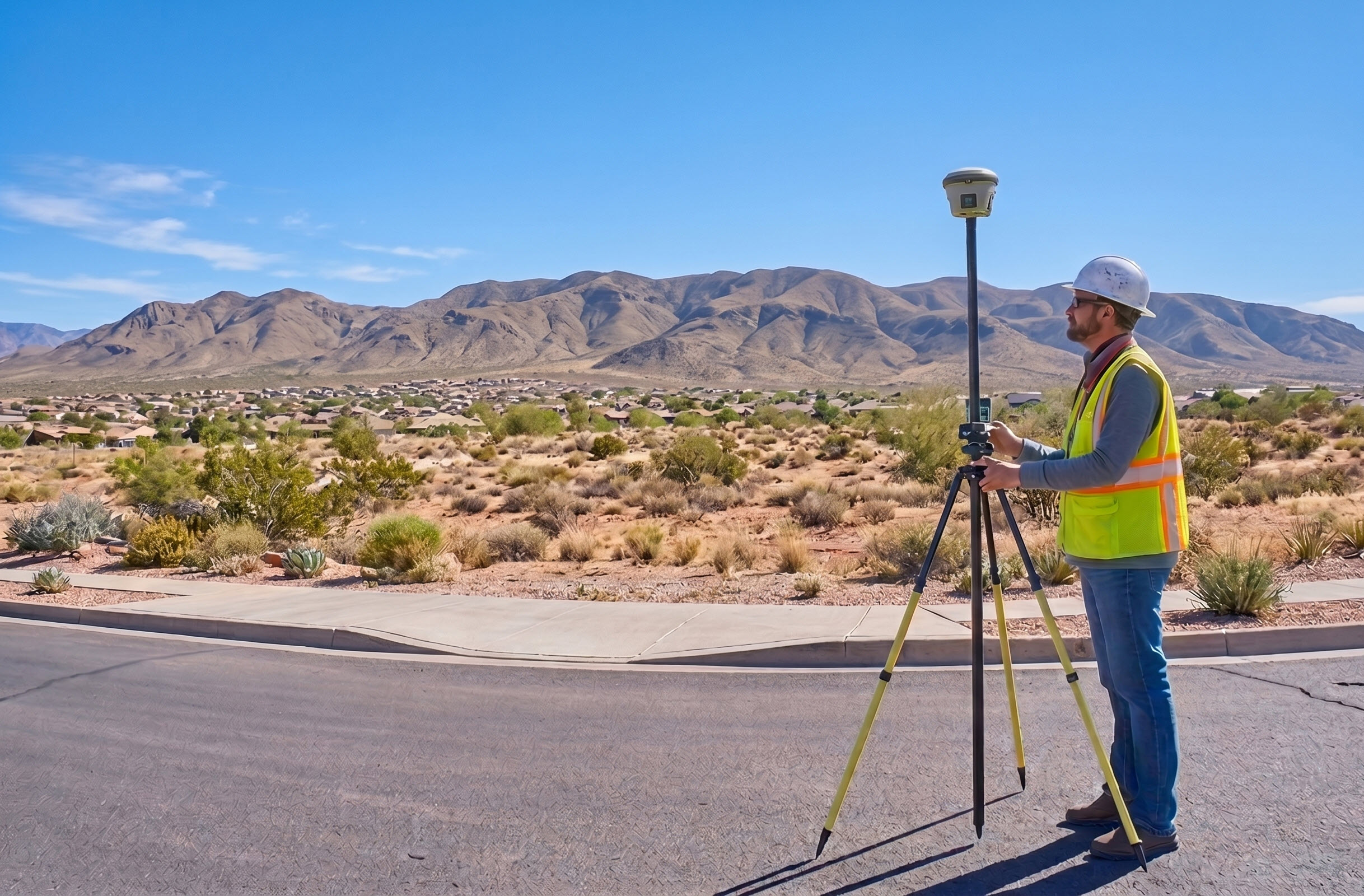
From boundary determinations to complex infrastructure control networks, our field and engineering support operations are overseen by licensed New Mexico & Arizona Professional Surveyors. We pair veteran field expertise with cutting-edge reality capture technology to ensure spatial deliverables meet rigorous state statutory standards and structural requirements.
Advanced Remote Sensing & UAS LiDAR
Capture highly accurate elevation and topographic data using high-precision aerial platform technologies. Our FAA Part 107 certified team conducts safe, compliant remote sensing flights across New Mexico to map critical public corridors and development sites. We deliver high-definition geodetic datasets, multi-angle imagery, and dense point clouds—all fully processed, filtered, and anchored to rigorous ground control baselines.

Mobile LiDAR & Data Fusion Engines
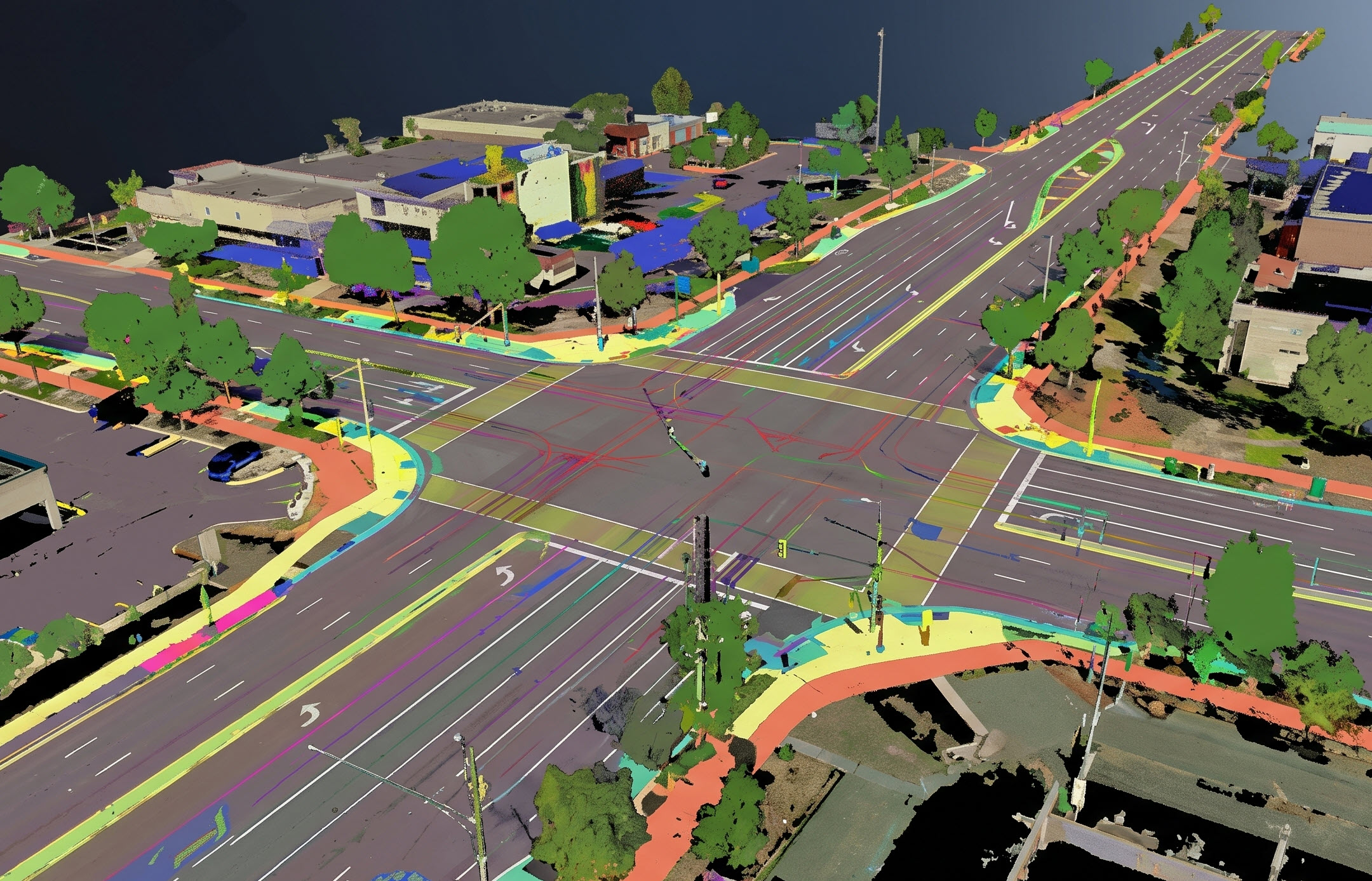
We provide comprehensive data processing, sensor alignment, and kinematic data fusion for rapid corridor mapping. Utilizing vehicular mobile LiDAR arrays and handheld SLAM (Simultaneous Localization and Mapping) scanning systems, we transform unorganized spatial data into localized, high-accuracy digital twins. These datasets are engineered to integrate seamlessly into civil engineering, design, and GIS asset tracking workflows.

Custom Software & Extraction Pipelines
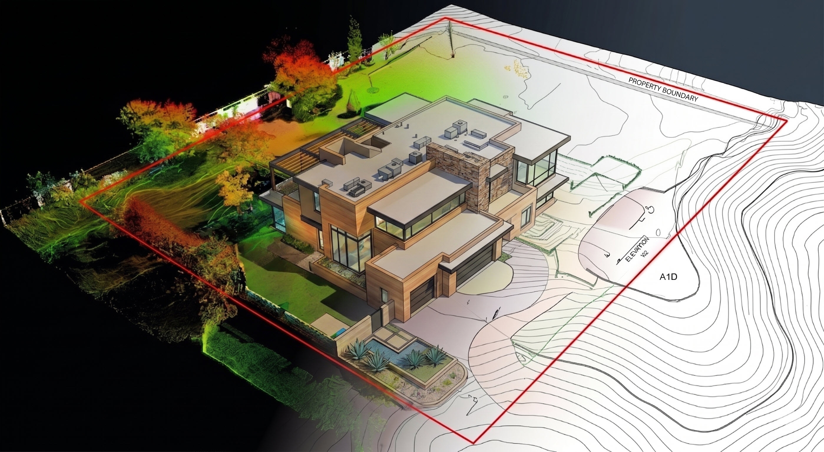
We design, build, and license custom software solutions, processing pipelines, and proprietary digital tools tailored specifically for the geomatics and AEC industries. By leveraging automated feature extraction algorithms, our custom tools ingest massive point clouds and imagery data, distilling them into lightweight, actionable CAD and GIS assets. This drastically reduces data bottlenecks and manual processing time for complex survey frameworks.
Ready to Streamline Your Project's Spatial Data?
Contact GeoIncite today to arrange a consultation, and learn how to accelerate your timeline with design-ready datasets.
Get in touch
© 2026 GeoIncite LLC. All rights reserved.